Skip to the content
logo mainlogo darklogo light
logo main
  • Home
  • About
  • Contact
  • Portfolio
    • All
    • New
    • Animal
    • Architecture
    • Book
    • Brand
    • campagne
    • Decors
    • Editorial
    • Exhibition
    • Flowers
    • Health
    • Furniture
    • Maps
    • Nature
    • Publication
    • Portrait
    • Sketch
    • Technique
    • Television
    • Travel
  • Shop
    • Prints and originals
HomeAllMaps and infographics

Maps and infographics

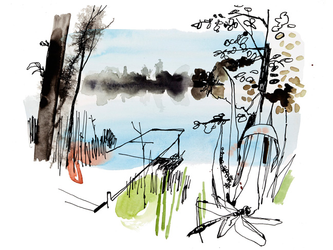
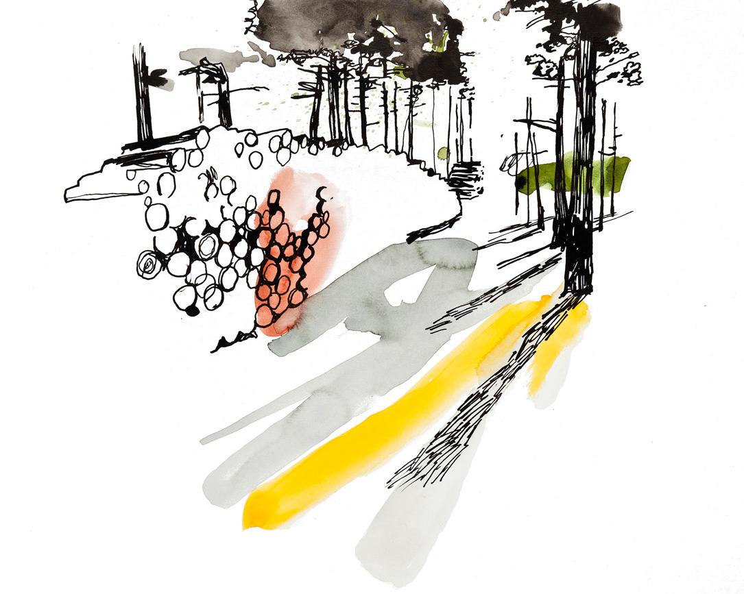
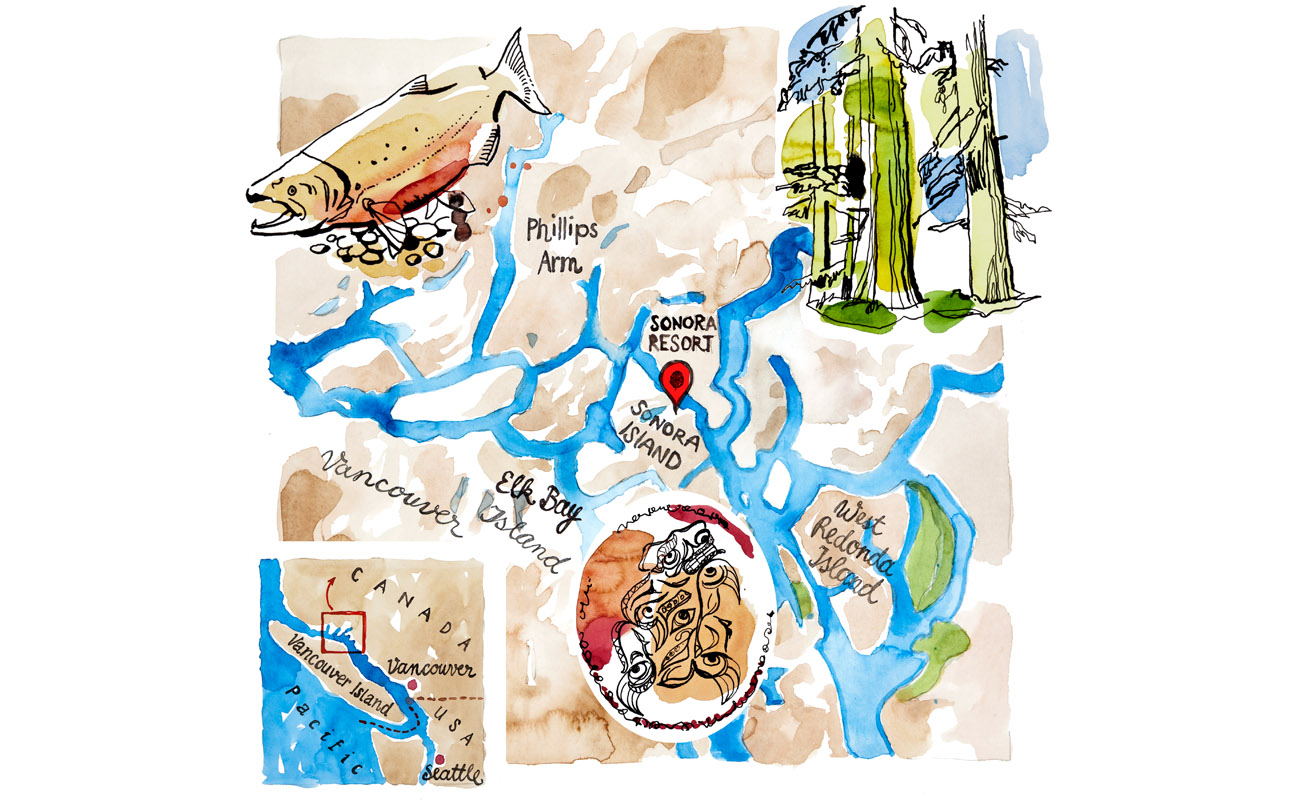
Infographics and maps are used as illustrations in numerous media and articles. Here are some examples of how a lively implementation can also underline the attractiveness of an otherwise rather sober topic. The maps were published in Geo Wohlleben’s World. The other illustrations are thematically related to forest management.

Category:
AllAnimalEditorialMapsNature
Date:

30. November 2022

Tags:
AquarellColorsInk
Share:
  • Facebook
Prev Project Next Project
Be on the way
Kölnische Rundschau
Ildikó von Kürthy novel
Illustration makes people happy
More information
  • About
  • Contact
  • Shop Art
Social media
  • Instagram
  • Facebook
General notes
  • Imprint
  • Data protection

© 2022 illupak by Peter Pichler, All Rights Reserved

To Top Drag View
  • Home
  • About
  • Contact
  • Portfolio
    • All
    • New
    • Animal
    • Architecture
    • Book
    • Brand
    • campagne
    • Decors
    • Editorial
    • Exhibition
    • Flowers
    • Health
    • Furniture
    • Maps
    • Nature
    • Publication
    • Portrait
    • Sketch
    • Technique
    • Television
    • Travel
  • Shop
    • Prints and originals